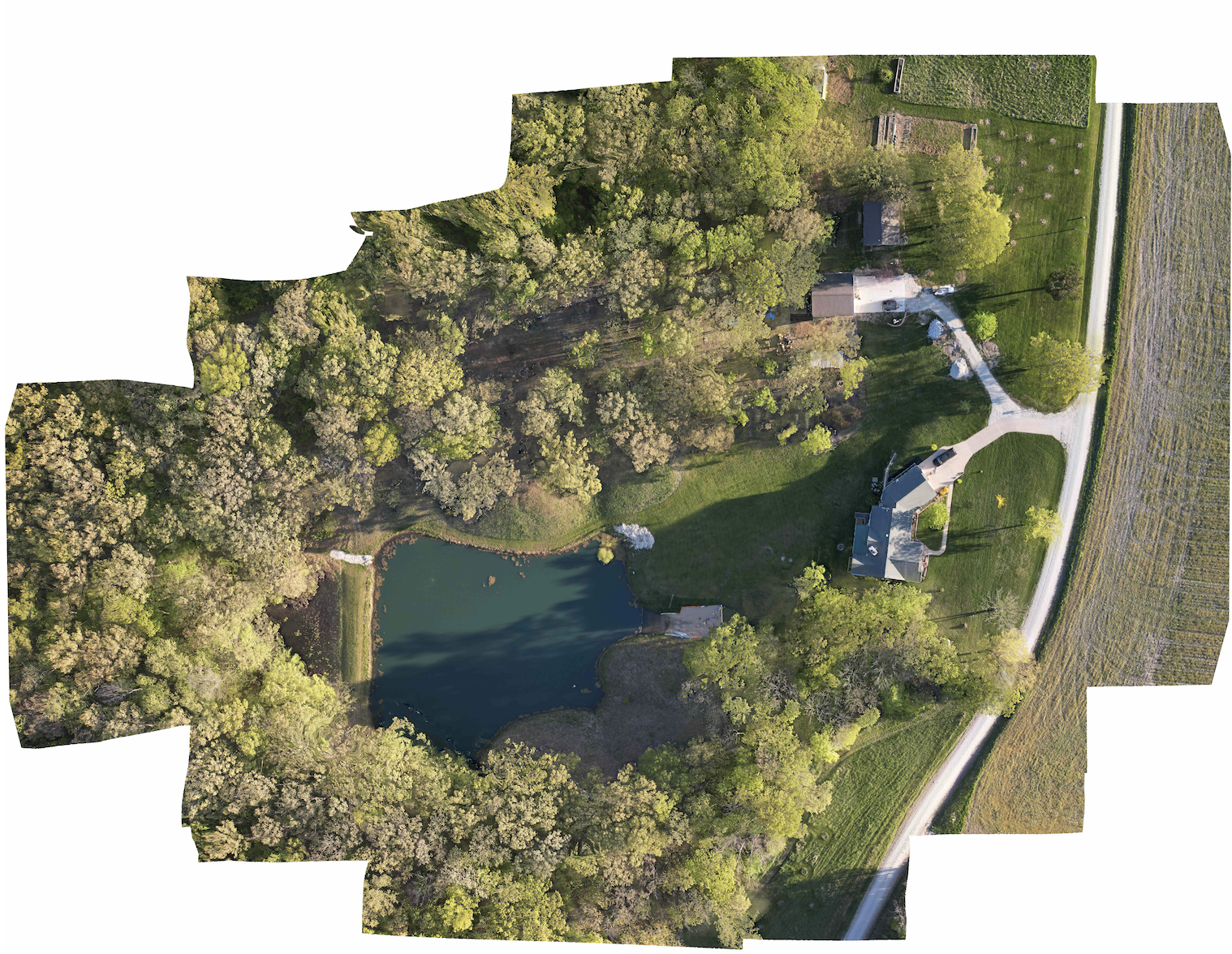
Drone photos & data Discuss aerial photographs and data collection for your property or project. Share the location and desired results so site access, flight feasibility, weather, and timing can be considered. Email about this service Drone mapping example